Degognia, Illinois
Degognia, Illinois | |
|---|---|
 Degognia  Degognia | |
| Coordinates: 37°51′40″N 89°37′49″W / 37.86111°N 89.63028°W | |
| Country | United States |
| State | Illinois |
| County | Jackson |
| Elevation | 705 ft (215 m) |
| Time zone | UTC-6 (Central (CST)) |
| • Summer (DST) | UTC-5 (CDT) |
| Area code | 618 |
| GNIS feature ID | 422613[1] |
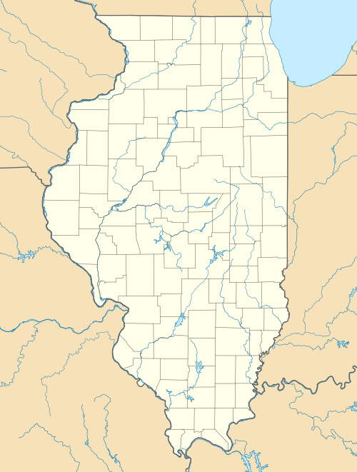
Degognia is an unincorporated community in Degognia Township, Jackson County, Illinois, United States. The community is located along County Route 20 11.1 miles (17.9 km) east-southeast of Chester.[2]
References[edit]
- ^ "Degognia". Geographic Names Information System. United States Geological Survey, United States Department of the Interior.
- ^ Jackson County General Highway Map (PDF) (Map). Illinois Department of Transportation. October 7, 2015. Archived from the original (PDF) on February 11, 2017. Retrieved February 18, 2018.
Municipalities and communities of Jackson County, Illinois, United States | ||
|---|---|---|
| Cities |  | |
| Villages | ||
| Townships | ||
| CDP | ||
| Other unincorporated communities | ||
| Ghost town | ||
| Footnotes | ‡This populated place also has portions in an adjacent county or counties | |
This Jackson County, Illinois location article is a stub. You can help Wikipedia by expanding it. |