Irepodun, Osun
Irepodun | |
|---|---|
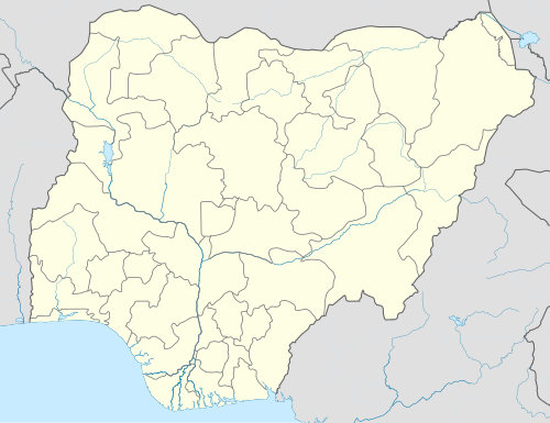 Irepodun Location in Nigeria | |
| Coordinates: 7°50′N 4°29′E / 7.833°N 4.483°E | |
| Country | |
| State | Osun State |
| Government | |
| • Local Government Chairwoman and the Head of the Local Government Council | Abayomi Oyedeji |
| Area | |
| • Total | 64 km2 (25 sq mi) |
| Population (2006 census) | |
| • Total | 119,497 |
| Time zone | UTC+1 (WAT) |
| 3-digit postal code prefix | 230 |
| ISO 3166 code | NG.OS.IP |
 | |
Irepodun is a Local Government Area in Osun State, Nigeria. Its headquarters are in the town of Ilobu,.[1][2]
It has an area of 64 km2 and a population of 119,497 at the 2006 census.
The postal code of the area is 230.[3]
References
- ^ "About Ilobu". Ilobuonline. Archived from the original on 2014-04-06. Retrieved 2014-01-20.
- ^ "Local Government Areas". Osun State Government. Retrieved 2014-01-20.
- ^ "Post Offices- with map of LGA". NIPOST. Archived from the original on 2009-10-07. Retrieved 2009-10-20.
State capital: Osogbo | ||
| Local government areas |  | |
This Osun State, Nigeria location article is a stub. You can help Wikipedia by expanding it. |